A Bridge
Accessibel maps the information

What have you got for us to discover?
The best adventures
take a little planning.
Accessibel brings outdoor adventures to life by highlighting the challenges to prepare for, and destinations to look forward to, through a combination of rich imagery and detailed location based information about accessibility.
,
Communicating the full range of experience.
At Accessibel we capture accessibility information inclusive of environmental highlights and things to prepare for.
Through an active collaboration with The Halberg Foundation and the Department of Conservation, Accessibel’s aim is to make access to nature something everyone can enjoy, no matter what your ability.
Plan your outdoor activity ahead
Points along the journey that impact your experience are captured, categorised, annotated and geolocated.
Images that let you be your own judge.
We all know what we’re capable of and understand when a challenge is one worth taking.
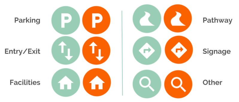
More challenging obstacles are highlighted with an orange dot, allowing you to quickly scan and review the parts of the track that you might need to prepare for.
Accessibel provides track images that help aid decision making on accessibility.
Features
Mapping
as a service
Accessibel collects the
information you’re missing,
moderates it and hosts it
all in one package.
Embed maps directly
into your website
Every track mapped by
Accessibel can be displayed
on your website through
a customisable embed.
Or, enrich your
maps with our API
Add an extra layer of
rich contextual information
to existing maps and other
channels though our API.

Explore further
with Accessibel.
Along with our partners, our goal is to make New Zealand more accessible to everyone, so we can all experience the benefits of being in nature.


